
Topography services
MORE THAN 10 years of experience in the sector...
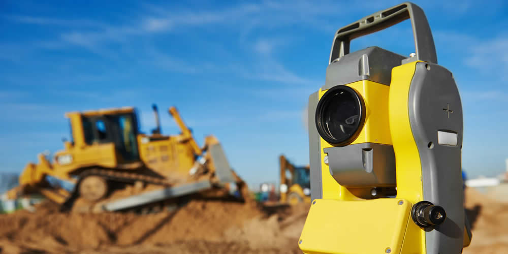
TOPOGRAPHY
1. Different topographic surveys scales.
2. Data capture control quality of cartography.
3. Topographic surveys for the creation of urban cartography.
4. Topographical consulting and advice.
5. Design, observation, calculation and adjustment of Geodetic or Topographic Networks.
6. Precision Geometric Leveling.
7. Digital Terrain Models (MDT) at scales.
8. Measurement of Support Points for the Restoration of Photogrammetric Flights.
9. Measurement points Control support flights LIDAR.
10. Deformation control in structures (viaducts, bridges, tunnels, dams, etc.)
11. Stakeout layout Civil Works Projects.
12. Airport topography and bonded control.
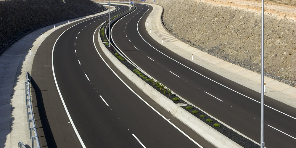
CIVIL ENGINEERING
1. Design modifications project drawn civil works
2. Review of the Lace and Measurements in Civil Works Projects.
3. Technical Office and completion of Certifications.
4. Integral Services of our Technicians, with incorporation to the client's staff in any Civil Works Project.
5. Control and monitoring of Land Movements.
6. Extensive experience in the Public Works sector: Road Works, Works with large Structures, Tunnels, Hydraulic Works, Railway Works, Airports
ARCHITECTURE
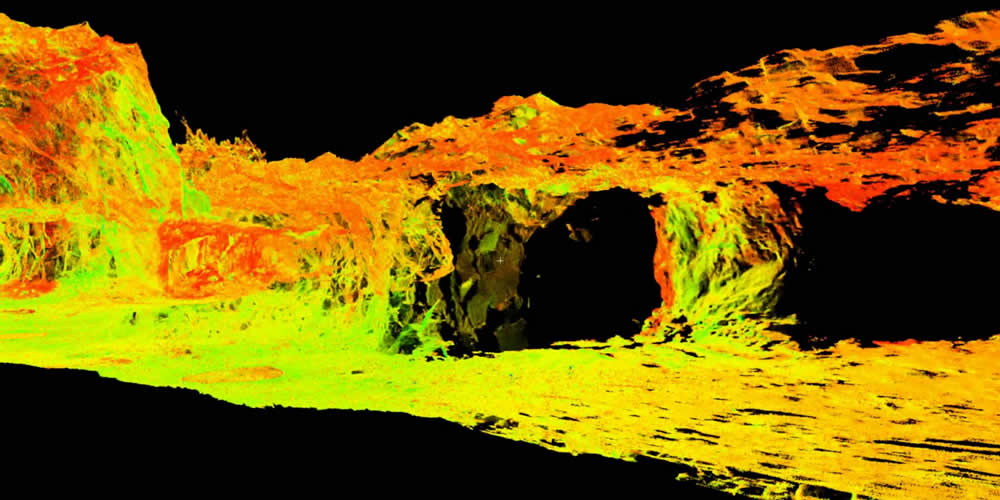
1. Technology HDS-Laser Terrestrial Scanner for 3D surveying buildings, industrial facilities, monuments and architectural interiors.
2. Lifting Facades Classic Topography.
3. Land Movement in Excavations for Building.
4. Stake out plants public and private buildings.
5. Stakeout of foundations, piles, pillars, walls, partitions and geometric control during their execution.
6. Technical Office support to the Construction Management.
7. Take data and edit Interior Plans for reform projects or decoration projects.
8. Energy Efficiency Certificate
9.
Valuations of Properties and Farms.
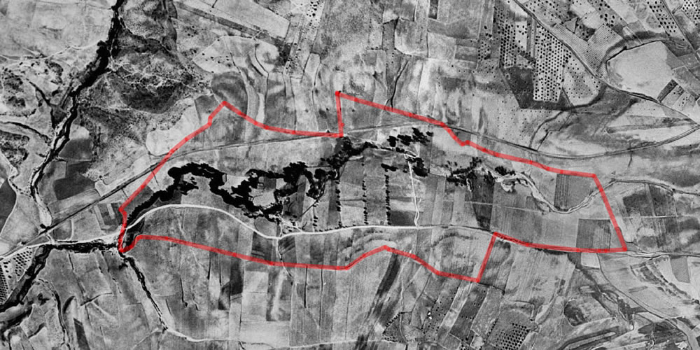
CADASTRE
Currently the cadastre has a graphic database, this information sometimes presents errors such as difference with the real boundaries of the plots.
1.
Judicial Examinations for resolution of conflicts at a particular or judicial instance.
2.
Projects Segregation and Grouping plot
3.
Demarcations and demarcation.
4. Measurement of parcel surfaces.
5.
Correction of boundaries and contradictory boundaries.
6.
Stakeout and marking of boundaries of plots from administrative data.
7.
Study between registry farms and cadastral farms.
8.
Valuations of Properties and Farms.

AIRPORT
Services specialized in Airports.
1. Control servitude according to current regulations.
2.
Assistance in topography.
3. Technical assistance in DIACAE delineation and coding.
4. Realization of projects according to R.D862 / 09
5. Compensation of the ATCM.
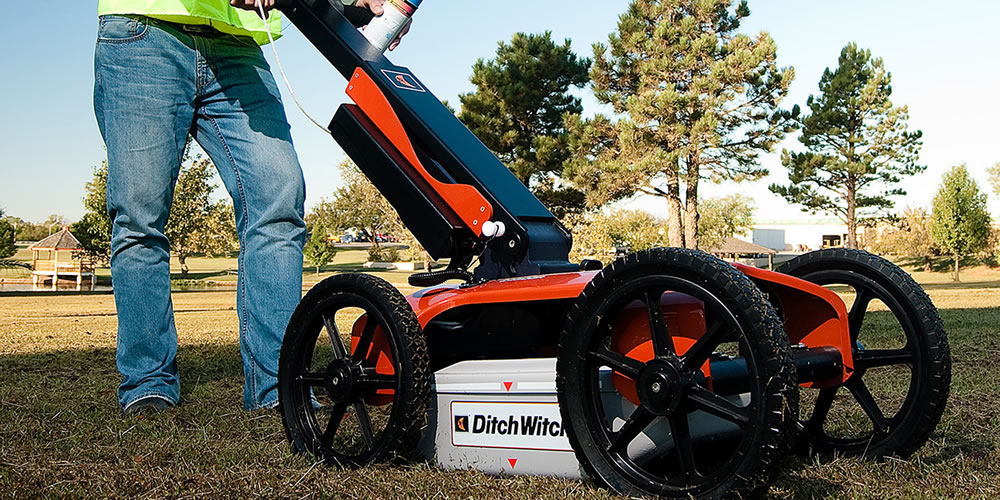
GEORADAR
Georadar is a geophysical technique that allows to obtain an image of both the subsoil and structures, from a series of "Echos".
We have the following georadar studies:
1.
Detection of buried cables.
2.
Detection of Concrete Pipes, PVC ...
3. Sanitation detection.
4.
Detection of irrigation systems
5.
Telecommunications Detection.
6.
Detection of electrical cables.